Thermal imaging that reads temperature — and tells you what it means.
A thermal camera doesn't see through your roof. It measures surface temperature, and because insulation and moisture both change how fast heat moves through a building assembly, that temperature data is enough to map exactly where a problem is — if it's captured under the right conditions and interpreted by someone who knows what a genuine finding looks like versus noise.
From request to report
1. Scope the inspection
Tell us about your property, roof type, and what prompted the request — a hot room, a suspected leak, a pending home purchase, or a scheduled portfolio assessment. We confirm which service fits and what conditions the scan needs.
2. Pilot dispatched to your site
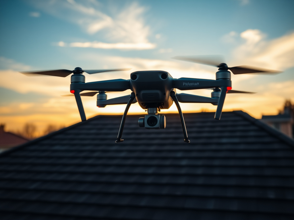
An FAA Part 107 certified pilot flies to your property and completes the flight when conditions are right for an accurate read — early morning or evening for insulation scans, after dark for roof moisture surveys.
3. Imagery captured & analyzed
The drone captures matching thermal and visual-light imagery across the full roofline or roof surface. A trained analyst reviews every capture, distinguishing real findings from thermal noise like sun exposure, fixtures, or duct leaks.
4. Report delivered
You receive an annotated report pairing thermal and visual imagery for every flagged area, GPS-tagged and timestamped, typically within 24-48 hours of the flight.
Two different scans, two different conditions
Insulation scans and roof moisture surveys rely on related but distinct thermal principles, which means they're flown under different conditions.
Insulation & envelope scans
Missing or thin insulation lets heat move through faster than the areas around it. That contrast needs a meaningful temperature difference between indoor and outdoor air to show up clearly, which is why these flights are typically scheduled for early morning or evening.
Roof moisture surveys
Wet roofing material holds heat longer than dry material after sunset. Surveys are flown a few hours after dark, once dry areas have cooled but saturated areas are still holding residual heat — usually following a sunny day and a clear night with a real temperature swing.
Rain, high wind, and heavy humidity can distort either type of scan, so we schedule around conditions and reschedule when needed rather than fly a scan that won't produce a reliable read.
A report you can actually act on
Thermal + visual pairs
Every flagged area shown two ways — the thermal capture and a standard photo — so you can see exactly what's there.
Radiometric data
Actual temperature values behind each finding, not just a color-coded image.
GPS-tagged & timestamped
A dated, located record suitable for contractor bids, capital planning, or your own claims documentation.
Plain-language notes
A clear explanation of likely cause and severity for each flagged area — not a raw data dump.
Who's flying, and what they're certified to do
Every flight is flown by a pilot holding an FAA Part 107 Remote Pilot Certificate — the credential required by law for any commercial drone operation in U.S. airspace, which includes passing an FAA knowledge test, a TSA background check, and recertifying every 24 months. We also carry commercial drone liability coverage as standard operating practice.
Interpreting the imagery is a separate skill from flying — a raw thermal image isn't a finding on its own. Our analysts are trained to tell a genuine insulation gap or moisture zone apart from other thermal anomalies like uneven sun exposure, recessed lighting, or duct leaks, which is what turns a set of photos into a report you can actually act on.
Ready to see your own roof this way?
Tell us about your property and we'll scope the right inspection.
Request your thermal drone inspection
Tell us about your property and we'll dispatch an FAA Part 107 certified pilot to map insulation gaps, roof moisture, or heat loss — with a clear report in your hands within days.